A Los Angeles earthquake struck near Commerce, east of downtown Los Angeles, at 3:25 a.m. local time on Friday 20 November 2026 (11:25 UTC), according to the United States Geological Survey (USGS). USGS lists magnitude 4.4, felt across the city. No damage or injury figure had been verified in the sources checked, and the USGS impact assessment is GREEN, its lowest band.
It was the second California earthquake to wake people within hours. A separate magnitude 5.0 quake near Pinnacles struck at 10:49 p.m. PST on Thursday. Different epicentres, depths and times. Neither is an aftershock of the other.
What happened in the Los Angeles earthquake?
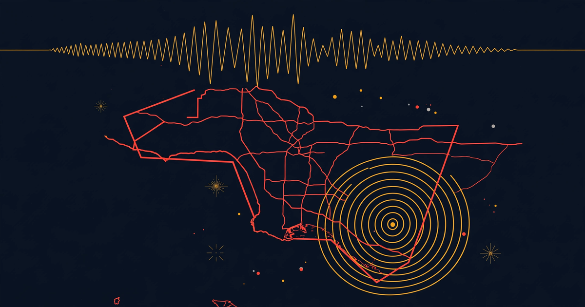
The USGS event page (event ci41364111) lists the origin time as 11:25:35 UTC on 20 November 2026, or 3:25 a.m. in Los Angeles. The epicentre is at 34.012 degrees north, 118.167 degrees west, about 1 kilometre north-northwest of Commerce, according to USGS. Commerce sits just east of downtown Los Angeles, which is why shaking was felt so widely.
USGS records the depth at 17.1 kilometres and the reviewed magnitude at 4.4 ml, according to USGS. The Weather Channel (weather.com) described a preliminary 4.4 near Commerce at about 11 miles deep. It said damage was not immediately clear, and social media filled with posts from people who felt it at 3:25 a.m.
Depth matters. At 17 kilometres down, the quake was shallow enough to be felt above the epicentre. Magnitude measures energy at the source. What you feel depends on depth, distance and ground. A moderate quake under a dense city can wake many people without damage.
How strong was the shaking in Los Angeles?
USGS recorded felt reports through Did You Feel It, with a ShakeMap intensity of IV, according to USGS. Intensity IV is light shaking: felt indoors by many, windows and dishes rattle, walls creak. It wakes light sleepers and sends people to their phones, matching the 3:25 a.m. timing weather.com described.
The USGS PAGER assessment is GREEN, the lowest band, for estimated losses and fatalities, according to USGS. PAGER is an automated estimate, not a damage survey. GREEN means the model expects little or no loss. It is not an official all-clear.
Weather.com said damage was not immediately clear when it published. We found no verified damage or injury count in the USGS, EMSC or SCEDC listings checked. Shaking was widely felt and the impact estimate is low, but no confirmed damage figure had been published in those sources when this was written.
Why do the magnitude numbers differ?
Three networks, three numbers, one earthquake. USGS lists magnitude 4.4 ml, according to USGS. The SCEDC listing at Caltech lists 4.2 at 16.59 kilometres deep. The European-Mediterranean Seismological Centre (EMSC) lists 3.9 for the greater Los Angeles area at the same time and coordinates, 17 kilometres deep. Our record, number 487419, says 4.2 at 16.6 kilometres.
This is normal. Each network uses different stations and, at first, different data. Figures are revised as analysts review waveforms. Near Pinnacles hours earlier, early figures of 5.4 and 5.1 settled to a reviewed 5.0, according to USGS.
Our rule when sources disagree is to show the range with attribution. In plain terms: this was at least a magnitude 3.9 earthquake, listed as 4.4 by USGS, whose network is closest to the epicentre. We follow the reviewed USGS figure for the headline, but the range stays in the record.
Could there be aftershocks — or a bigger quake?
Possibly small ones. USGS puts another magnitude 3 or larger in the next week at 53 percent, magnitude 4 or larger at 12 percent, and magnitude 5 or larger at 1 percent, according to USGS. A magnitude 3 aftershock is more likely than not. A repeat is unlikely. A larger quake is very unlikely, not impossible.
Forecasts like this are statistical, based on past sequences. They do not predict that a fault will move at a set time. Most aftershocks, if they come, will be smaller than the mainshock. Expect a rattle over the next few days.
California has had a busy week on our records. The site covered the Pinnacles magnitude 5.0 earthquake earlier today, the Kumamoto magnitude 5.7 earthquake and the Papua New Guinea earthquake near Madang. Different faults, same lesson: check the reviewed figure, not the first number.
Why does Los Angeles get earthquakes like this?
Los Angeles sits on a plate boundary. The Pacific Plate moves slowly north-west past the North American Plate, taken up by a web of faults under the basin, not one fault alone. Strain builds while faults are locked. When a patch lets go, energy comes out as shaking. A magnitude in the low 4s is a small release, felt often and usually causing little damage.
Each whole step on the magnitude scale releases roughly 32 times more energy. That is why the Pinnacles 5.0, at 6.7 kilometres deep in sparsely populated country, reached intensity VI, while this deeper 4.4 under a city reached intensity IV. Energy, depth and exposure count.
Separate weather in the same state this week is covered in our California atmospheric river storm report. It has nothing to do with this earthquake, and safety steps differ.
What should you do in an earthquake?
Ready.gov, the US preparedness site, gives three words: drop, cover, hold on. Drop to your hands and knees. Cover your head and neck, ideally under a sturdy table. Hold on until shaking stops. In bed, as many were at 3:25 a.m., Ready.gov says to turn face down and cover your head with a pillow, rather than running through a dark room.
After the shaking, check yourself and others before your phone. Expect aftershocks. Keep shoes by the bed, heavy items off shelves, and know your gas shut-off if you smell gas. Outside, move to an open area away from buildings and power lines until shaking stops, according to Ready.gov.
Our today page tracks severe incidents as recorded, including the record for this earthquake. For the full picture, use the USGS event page and local fire department or city alerts.
What our records show, and what they miss
Our incident record, number 487419, lists magnitude 4.2 at 16.6 kilometres deep, sourced from USGS with EMSC attached. The reviewed USGS page lists 4.4 ml at 17.1 kilometres. The record caught the right place and time within minutes. It lacks the PAGER level, intensity IV ShakeMap and aftershock forecast, because the automated feed does not carry them.
That gap is the pattern, not an exception. The Pinnacles record still showed 5.1 after USGS reviewed that quake to 5.0. Automated feeds are fast, but preliminary by design. What they miss is the review step: revised magnitude, impact estimate and forecast. That is why we check USGS, SCEDC and a major outlet first.
Sources: USGS event page ci41364111 (magnitude, depth, intensity, PAGER, forecast); SCEDC listing (4.2, 16.59 km); EMSC listing (3.9, greater Los Angeles area); weather.com (felt shaking, unclear damage); Ready.gov earthquake guidance. Magnitudes are attributed to each network; the headline uses the reviewed USGS figure.
The short version
- A Los Angeles earthquake struck at 3:25 a.m. local time on 20 November 2026, about 1 km north-northwest of Commerce, 17.1 km deep, according to USGS.
- USGS lists magnitude 4.4 ml, intensity IV and GREEN PAGER; SCEDC lists 4.2 and EMSC 3.9, so the verified range is at least 3.9.
- No damage or injury figure had been verified in the USGS, EMSC or SCEDC sources checked; weather.com said damage was unclear.
- USGS forecasts 53 percent for a magnitude 3 or larger aftershock this week, 12 percent for magnitude 4 or larger, 1 percent for magnitude 5 or larger.
- Drop, cover, hold on; in bed, cover your head with a pillow; expect aftershocks and trust the USGS figure, not the first number.