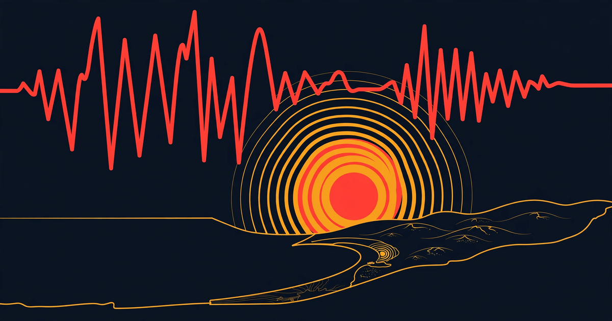
A Pinnacles earthquake of magnitude 5.0 struck 10 kilometres north-west of Pinnacles, California, at 10:49 p.m. PST on Thursday 19 November 2026 (06:49 UTC on Friday 20 November), according to the United States Geological Survey (USGS). The shallow quake was felt across the Central Coast, triggered a ShakeAlert, and was followed by a run of smaller aftershocks. Federal forecasters said there was no tsunami danger.
USGS first put the magnitude at 5.1, then revised it to 5.0 after review. The depth matters more: at 6.7 kilometres down, this was shallow, and shallow quakes feel sharper near the epicentre even when the magnitude looks modest.
What happened in the Pinnacles earthquake?
The USGS event page (event nc75468702) lists the origin time as 06:49:16 UTC on 20 November 2026, which is 10:49 p.m. local time on 19 November. The epicentre sits at 36.593 degrees north, 121.221 degrees west, about 10 kilometres north-west of Pinnacles in San Benito County, inland from Monterey Bay. USGS records the depth at 6.7 kilometres and the reviewed magnitude at 5.0 Mw.
Two smaller foreshocks came first. KSBW, citing USGS data, reported a magnitude 3.1 at 9:53 p.m. and a magnitude 3.3 at 10:12 p.m. on Thursday evening. Then the mainshock hit, and the aftershocks followed quickly: magnitude 3.0 at 10:52 p.m., two magnitude 2.5 events at 10:57 and 10:58 p.m., a magnitude 3.4 at 11:14 p.m., then magnitude 2.6 and 2.7 events before midnight, according to KSBW. NBC Bay Area described the same pattern as multiple earthquakes, including the 5.0, near Pinnacles.
USGS treats the 5.0 as the potential mainshock of a sequence of 57 events. Its forecast for the next week puts another magnitude 3 or larger at 61 percent, magnitude 4 or larger at 14 percent, and magnitude 5 or larger at 2 percent, according to USGS. More small shakes are likely. A repeat of the same size is unlikely, not impossible.
How strong was the shaking?
More than 2,800 people told USGS they felt it. The Did You Feel It system recorded 2,830 responses, with a maximum community intensity of VI, according to USGS. Intensity VI means strong shaking: felt by everyone, heavy furniture can move, fallen plaster is possible. The ShakeMap estimate also peaked at VI, according to USGS.
KSBW reported shaking felt in Marina, where at least one resident received a USGS ShakeAlert telling them to drop, cover and hold on. Sensors near the epicentre detect the first waves and push a warning to phones a few seconds before the stronger shaking arrives. A few seconds is not long. It is enough to get under a table.
The USGS PAGER assessment is GREEN, the lowest band, for estimated losses and fatalities, according to USGS. Ground-failure models show little or no area affected by landslides or liquefaction. Neither NBC Bay Area nor KSBW reported damage or injuries. That is not an official all-clear. It means no such reports had come in when they published.
Was there a tsunami risk?
No. The National Tsunami Warning Center in Palmer, Alaska, issued a Tsunami Information Statement at 06:51 UTC, two minutes after the quake. Its evaluation was blunt: there is no tsunami danger from this earthquake. An information statement is the lowest level of tsunami message. It tells coastal officials that a quake happened and that no action is needed. NBC Bay Area likewise reported that a tsunami was not expected.
The distinction matters because automated feeds sometimes label every tsunami message as a warning. This one was not a warning, a watch or an advisory. It was information only, and it expired at 07:51 UTC.
Why does California get earthquakes like this?
Pinnacles sits in one of the most closely watched seismic zones on Earth. The San Andreas Fault system runs through central California, where the Pacific Plate grinds slowly north-west past the North American Plate. Strain builds while the fault is locked. Then a patch lets go, and the stored energy comes out as shaking.
A magnitude 5.0 releases roughly 32 times less energy than a magnitude 6.0. That is why a 5.0 usually rattles windows and wakes people up rather than bringing buildings down. Depth matters as much as magnitude. This quake was shallow, which explains the intensity VI reports, but the epicentre is in sparsely populated ranch and park country near Pinnacles National Park, which kept exposure low.
California has had a busy month on our own records. The site covered the Kumamoto magnitude 5.7 earthquake in Japan and the Papua New Guinea earthquake near Madang earlier this week. Different faults, different countries, same lesson: the first number is preliminary, and the reviewed number is the one to trust.
What should you do in an earthquake?
Ready.gov, the US government's preparedness site, gives the same three words the ShakeAlert used: drop, cover, hold on. Drop to your hands and knees so the shaking cannot knock you down. Cover your head and neck, ideally under a sturdy table. Hold on until the shaking stops. Running outside during the shaking is how people get hurt by falling glass and masonry.
After the shaking, check yourself and the people around you before your phone. Expect aftershocks: keep shoes by the bed, heavy items off high shelves, and know your gas shut-off if you smell gas. Near the coast, if strong shaking lasts 20 seconds or more, move to high ground on foot as soon as it stops. That rule was not needed here, because the tsunami centre ruled out a threat within minutes.
Our today page tracks severe incidents as they are recorded, and the articles index holds the longer explainers. For storm context in the same state this week, see our coverage of the California atmospheric river storm, a separate weather system that has nothing to do with this earthquake.
What our records show, and what they miss
Our incident record for this quake, number 486381, still shows the preliminary magnitude 5.1 from the first USGS feed. The reviewed USGS value is 5.0. The record also carries no felt-report count, no PAGER level and no aftershock forecast, because the automated feed that creates these records does not carry them. A second record, number 486397, labels the tsunami message as an official warning. It was an information statement stating there was no tsunami danger. The badge overstates the message.
The records still caught the quake within minutes, with the right place, depth and a magnitude within a tenth of the final value. What they miss is the review step: the downgrade, the felt reports, the green PAGER, and the foreshock-aftershock sequence. That gap is why we check the USGS event page and two outlets before writing, rather than copying the feed.
Sources for this article: USGS event page nc75468702 (reviewed magnitude, depth, intensity, PAGER, aftershock forecast); National Tsunami Warning Center information statement, 06:51 UTC 20 November 2026; NBC Bay Area and KSBW reporting on foreshocks, aftershocks and felt reports; Ready.gov earthquake guidance. Where the preliminary and reviewed magnitudes differed, we used the reviewed USGS figure.
The short version
- A magnitude 5.0 Pinnacles earthquake struck at 10:49 p.m. PST on 19 November 2026, 10 km north-west of Pinnacles, California, at a depth of 6.7 km, according to USGS.
- USGS recorded 2,830 felt reports with maximum intensity VI and a GREEN PAGER assessment; two foreshocks and a run of aftershocks followed, with more small aftershocks likely this week.
- The National Tsunami Warning Center issued an information statement only and said there was no tsunami danger.
- NBC Bay Area and KSBW reported shaking felt in Marina and a ShakeAlert, with no damage or injury reports in their coverage at publication.
- Drop, cover, hold on during shaking, expect aftershocks, and check the reviewed USGS magnitude rather than the first preliminary figure.