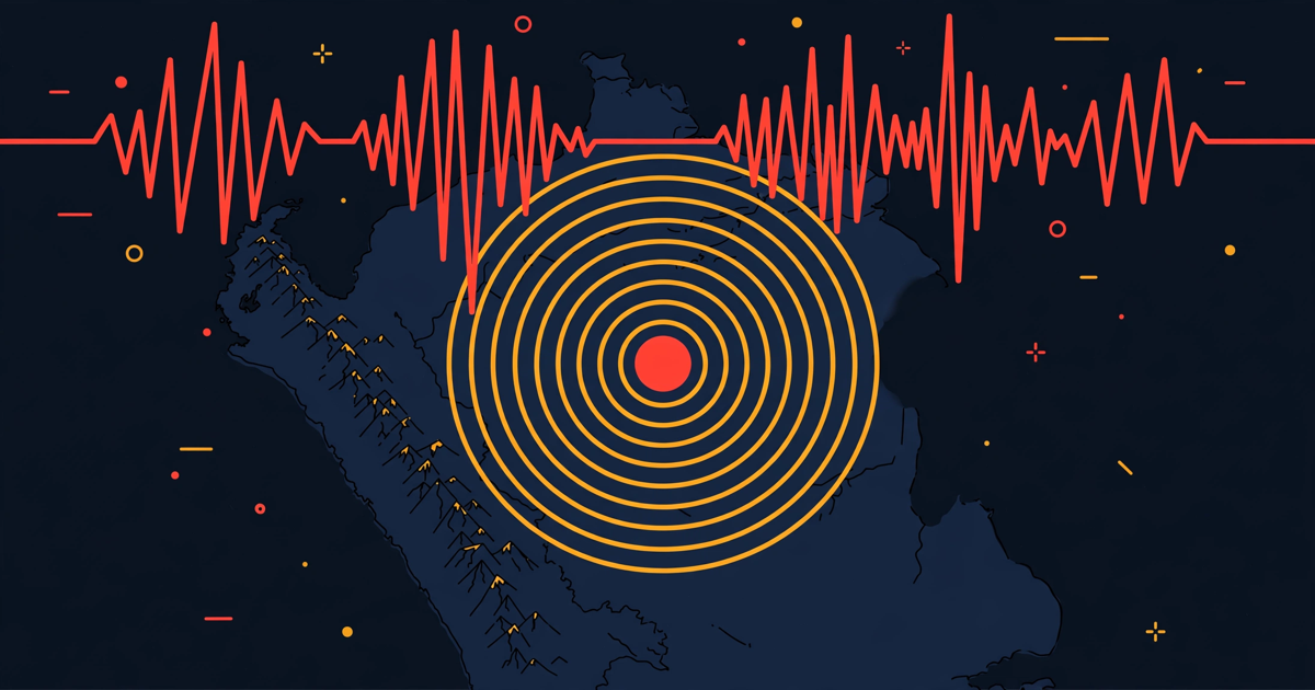
A Peru earthquake of magnitude 6.7 struck 9 kilometres north-east of Carhuamayo in the Junín region at 00:09 UTC on Saturday 21 November 2026 (19:09 local time on Friday 20 November), according to the United States Geological Survey (USGS). The quake was deep, felt in Lima and across central Peru, and USGS has marked its solution as reviewed. At the time of writing, neither USGS nor Peru's geophysics institute had reported casualties or damage figures.
Peru's Instituto Geofísico del Perú (IGP) also put the magnitude at 6.7. Reuters, citing Germany's GFZ, reported 6.8. Where agencies differ by a tenth, we use the lower reviewed figure. That is 6.7 here.
What happened in the Peru earthquake?
USGS lists the origin time as 00:09:19 UTC on 21 November 2026. In Peru that was Friday evening, 19:09 local time. The epicentre sits at 10.855 degrees south, 75.978 degrees west, described by USGS as 9 kilometres north-east of Carhuamayo, a town in the high Andes of the Junín region. USGS records the depth at 108 kilometres and the magnitude type as Mww 6.7. The event ID is us6000ucfm.
IGP/CENSIS report 2026-0818, carried by RPP, gives a slightly different location from its own network: latitude -10.97, longitude -76.19, depth 129 kilometres, 30 kilometres north-west of Junín. Different networks give slightly different answers. That is normal in the first hours. The two agencies agree on magnitude 6.7 and the same origin time, 19:09:19 local.
RPP reported the shaking was felt in Lima and other regions, with intensity V in Junín according to IGP. Reuters likewise reported the quake was felt in Lima, sending residents from their homes. Lima sits roughly 175 kilometres south-west of the epicentre. A deep quake under the Andes can be felt that far away.
How strong was the shaking?
USGS estimated maximum shaking at VI on its ShakeMap, according to USGS. Intensity VI is classed as strong: felt by everyone nearby, heavy furniture can move, plaster can fall. Community reports in the USGS Did You Feel It system pointed lower, around V in the early data. Modelled shaking and felt shaking are not the same thing.
The USGS PAGER assessment is GREEN, according to USGS. Green is the lowest band for estimated losses and fatalities. It is an estimate, not a headcount, and it can change as reports come in.
No casualty or damage numbers had been published by USGS, IGP or RPP when we checked. RPP's report, updated at 19:43 local time on 20 November, gave the instrument readings and felt reports, and nothing more. That does not prove nothing happened. It means officials had not reported figures yet, and we will not invent any.
Was there a tsunami risk?
USGS set a tsunami flag of 1 in its event data, according to USGS. That flag is an automatic data field. It is not a tsunami warning, and it is not an evacuation order. Automated feeds and social posts sometimes turn that flag into the words "tsunami warning issued". Treat that with care.
Geography helps here. The epicentre is inland, under the Andes near Carhuamayo, at a depth of more than 100 kilometres according to both USGS and IGP. Tsunamis need a large vertical shift of the sea floor. A deep inland quake is a poor candidate. We found no tsunami warning from an official warning centre in the sources checked.
Why does Peru get earthquakes like this?
Peru sits on one of the most active plate boundaries on Earth. The oceanic Nazca Plate slides eastward and dives beneath the South American Plate along the Peru–Chile trench, at roughly 6 to 8 centimetres a year. That subduction built the Andes. It also loads the faults beneath them.
This quake ruptured at intermediate depth: 108 kilometres down according to USGS, 129 kilometres according to IGP. Either way, it sits inside the descending slab, well below the shallow crust where the most destructive earthquakes usually start. Deep quakes feel different. The sharp shaking that tears buildings apart weakens with distance, while the long, rolling motion carries further. That is why a 6.7 at this depth can wake a capital 175 kilometres away without the damage a shallow 6.7 would cause.
Our recent earthquake coverage shows the same pattern from the other side. The Pinnacles earthquake in California was only magnitude 5.0 but just 6.7 kilometres deep, so it felt sharp near the epicentre. The Kumamoto magnitude 5.7 earthquake in Japan and the Papua New Guinea earthquake near Madang earlier this week were also judged on depth and exposure, not magnitude alone. Magnitude tells you the size of the rupture. Depth and distance tell you what it did to people.
What should you do in an earthquake?
Ready.gov, the US government's preparedness site, gives the standard advice: drop, cover, hold on. Drop to your hands and knees. Cover your head and neck, ideally under a sturdy table. Hold on until the shaking stops. Do not run outside while the ground is moving.
Afterwards, expect aftershocks. They are usually smaller, and they can still bring down anything the mainshock weakened. Check on neighbours, keep shoes and a torch by the bed, and stay away from damaged buildings until officials clear them. Near the coast, strong shaking lasting 20 seconds or more is your natural tsunami warning: move to high ground on foot as soon as the shaking stops. That rule is for coastal quakes. It was not triggered here, but it is worth knowing before you need it.
Our today page tracks severe incidents as they are recorded, and the articles index holds the longer explainers. For a very different hazard in the same week, see our coverage of the California atmospheric river storm, a weather system with no connection to this earthquake.
What our records show, and what they miss
Our incident feed had not yet surfaced this quake when we checked, and the site itself was unreachable from our browser at the time, so we could not compare a live incident record against the USGS event page. What we can say is what the instruments recorded: a reviewed Mww 6.7 at 108 kilometres depth according to USGS, a matching M6.7 at 129 kilometres according to IGP, and felt reports from Lima according to Reuters and RPP.
What the records will miss, as they usually do, is the review step: the gap between the first automatic magnitude and the analyst-checked one, and the PAGER estimate. Early social posts put this quake anywhere from 6.7 to 6.9, with one outlier at 8.0. None was an official reviewed figure. The reviewed USGS and IGP figures agree at 6.7. That agreement, from two independent networks, is why we are publishing.
Sources for this article: USGS event page us6000ucfm (reviewed magnitude, depth, ShakeMap, PAGER); IGP/CENSIS report 2026-0818 via RPP (magnitude, depth, intensity, felt reports); Reuters via GFZ (6.8 variant, felt in Lima); Ready.gov earthquake guidance. Where magnitudes differed, we used the lower reviewed figure and attributed each value to its agency.
The short version
- A magnitude 6.7 Peru earthquake struck 9 km north-east of Carhuamayo, Junín, at 00:09 UTC on 21 November 2026 (19:09 local on 20 November), at a depth of 108 km, according to USGS.
- Peru's IGP also recorded magnitude 6.7 at 129 km depth; Reuters reported 6.8 via GFZ. The quake was felt in Lima, about 175 km away, according to Reuters and RPP.
- USGS estimated maximum shaking at VI with a GREEN PAGER assessment; no casualties or damage figures had been reported by officials at the time of writing.
- USGS set an automatic tsunami flag in its data; that is not a tsunami warning, and no official tsunami warning was found for this deep inland quake.
- Drop, cover, hold on during shaking, expect aftershocks afterwards, and follow local officials for any updates.